Advancing the readiness of science and technology in near-space environments. Next launch in:
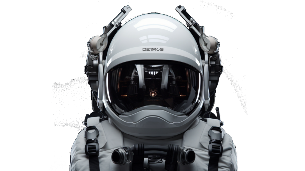
H.A.L.O.
Advancing the readiness of science and technology in near-space environments. Next launch in:
Revolutionizing Communications and ISR Across Land, Sea, Air, and Space
We proudly offer H.A.L.O., a long-duration, stratospheric balloon system that offers A.I. powered command and control coverage from anywhere in the world. This technology allows users to predict balloon flight path, hover and monitor above a fixed point on the ground, and safely navigate anywhere on Earth from stratospheric altitudes. The system is fully autonomous and can be managed from any mobile device, tablet, or computer worldwide.
Precision Data
HALO can capture 1,000 – 2,000 sq km of imagery per flight, efficiently capturing large ephemeral and episodic data sets at 10 cm per pixel resolution, allowing for improved data collection and high-quality geospatial imagery for any Earth science mission.
Surveillance & ISR
A quick-deploy solution designed to deliver long-duration flight at the maximum possible efficiency, HALO supports advanced, autonomous, multi-object data detection, recognition, identification, and target acquisition on any terrestrial surface from stratospheric altitudes.
Multi-Mission Capable
HALO is an autonomous, zero-emission, high-altitude robot that is capable of carrying payloads ranging from one pound to over ten tons, to altitudes up to 130,000 feet, with flight durations ranging from hours to months.
As Seen In:


High-resolution, high-frequency imagery from 100,000 feet

Mission Profile
Situational Awareness
Designed to deliver precise, effective, persistent, and total situational awareness from altitudes up to 130,000 feet.
Communications
A near space communication system that delivers ubiquitous, high bandwidth, low latency connectivity at a fraction of the cost of traditional terrestrial solutions.
Military ISR
Our technology suite was developed to achieve dynamic intelligence, surveillance, and reconnaissance missions across land, sea, air, and space.
Scientific Research
A high-altitude research platform capable of testing and advancing space science at a fraction of the cost of a satellite.
Data Science
Capable of making fast and frequent "in situ" observations in high risk, high value areas, allowing for improved data collection and measurement efficiencies.
AI Powered Research
Robotic HALO powered payloads can capture high-resolution imagery while hovering at roughly 100,000 feet above the Earth’s surface.
AI Powered Research
Robotic HALO powered payloads can capture high-resolution imagery while hovering at roughly 100,000 feet above the Earth’s surface.
AI Powered Research
Robotic HALO powered payloads can capture high-resolution imagery while hovering at roughly 100,000 feet above the Earth’s surface.
AI Powered Research
Robotic HALO powered payloads can capture high-resolution imagery while hovering at roughly 100,000 feet above the Earth’s surface.
Tech Specs
Equipped with High Altitude Long Duration (HALO®) Technology
Depending on the mission and objectives, flight durations can range from a few hours to several months.
Maximum Flight Capacity (km) = 11,600
Mean Orbit Velocity (ft/h) = 1,055,000
Escape Velocity (ft/m) = 1,200
HALO is capable of carrying payloads ranging from one pound to over ten tons.
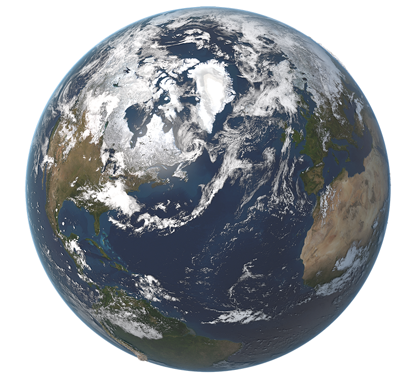
Near space begins at roughly 65,000 feet where the temperature is almost identical to Mars. HALO typically flies in this range, with altitudes ranging from 60,000 to 130,000 feet.
Direct + Indirect feature matching process with GCPs
Accuracy 5 m CE90.
From military ISR and surveillance to general earth science, HALO provides high resolution imaging for air quality monitoring, coastal zone and ocean monitoring, mapping of geologically active regions, forest and agricultural monitoring, polar region mapping, and more.
HALO is capable of holding a precise image in high resolution while traveling over a fast moving target.
HALO offers real-time in situ maneuverability and control to provide a precise station-keeping range of 87 nm (100 miles) or larger.
HALO by the numbers:
Payloads lifted into the stratosphere
Highest altitude achieved
Highest altitude controlled flight (8 hours)
Largest altitude control descent maneuver
Reflown payloads
Deimos-One is at the frontier of stratospheric research and near space data science
We are developing solutions to help us better understand our universe and improve the human experience. Combining rigorous academic research with state-of-the-art space technology, we hope to make discoveries that will improve life on Earth and promote a cleaner, safer, sustainable world.
Exploration
We are focused on developing spaceflight technology that will reduce the cost of access to space and provide for more research opportunities in our solar system and beyond.
Sustainability
We are committed to building a future where access to space is affordable, frequent, and reliable for everyone – our next-generation family of American made space vehicles will power us into this reality.
Mission
Our mission is to build an interplanetary pathway that connects earth to the universe around it. Our space vehicles are built to support a better future and promote a cleaner, safer, sustainable World.
H.A.L.O.
Deimos-One is at the frontier of stratospheric research and near space data science
HALO by the numbers:
Maximum Flight Capacity (km)
Mean Orbit Velocity (ft/h)
Escape Velocity (ft/m)
Ready to see more? Contact us.